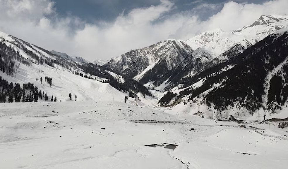
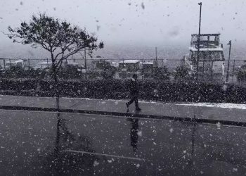
Snowfall across the hill states of North India has remained extremely limited this winter leaving large parts of the mountains dry. December 2025 recorded far below normal rainfall and snowfall in the higher reaches and the situation did not improve during the first two weeks of January 2026. However a change in weather conditions is now expected bringing some relief to the region.
According to Skymet Weather the entire western Himalayan belt experienced over ninety percent deficit rainfall and snowfall in December 2025. Uttarakhand was among the worst affected states where snowfall was almost absent during the peak winter month. Prolonged dry weather meant that while cold conditions prevailed the typical winter landscape was missing across many mountain areas.
Weather agencies now indicate that conditions may start changing from January 16. A western disturbance is likely to reach the western Himalayan region around this date which could trigger snowfall at elevations above twelve thousand feet. Another stronger western disturbance is expected around January 19 which may increase both the intensity and spread of snowfall. Forecasts suggest that snowfall activity could gradually intensify after January 21 with its impact possibly extending till around Republic Day on January 26.
The expected snowfall has raised hopes in Ladakh where the Khelo India Winter Games are scheduled between January 20 and January 26. Events are planned at the NDS Ice Hockey Stadium in Leh the Ladakh Scouts Ice Rink and Gupuk Pond and fresh snow could support both sporting conditions and local expectations.
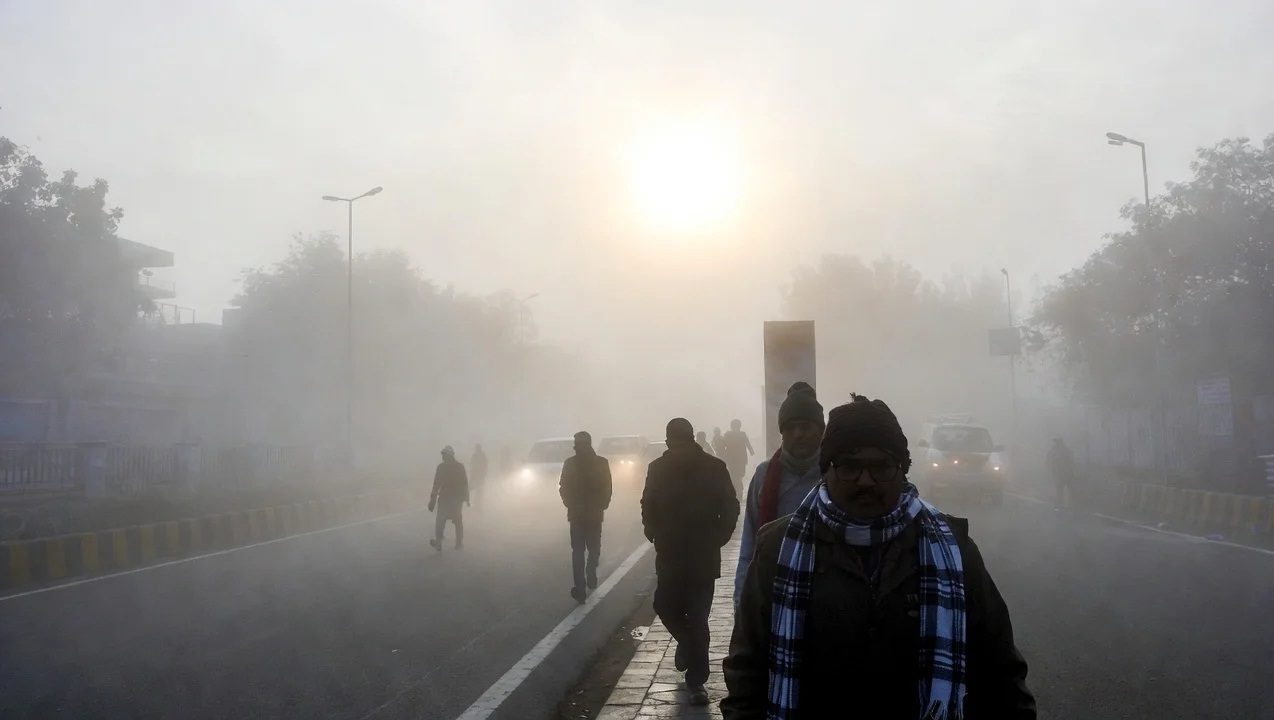
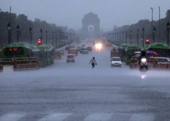
Meanwhile the India Meteorological Department has issued warnings of dense fog and cold wave conditions across more than ten states. Between January 17 and January 20 rain and snowfall are likely in Jammu and Kashmir Ladakh Himachal Pradesh and Uttarakhand while light rain may occur in parts of Haryana and western Uttar Pradesh.
Cold conditions continue to grip the plains as well. Minimum temperatures have dropped sharply with Meerut recording 3.1 degrees Celsius Ayodhya and Muzaffarnagar 3.5 degrees Bathinda 3.2 degrees Narnaul one degree and Bhiwani 1.2 degrees Celsius. The weather department has warned that cold wave conditions may persist over Himachal Pradesh Uttarakhand Punjab Haryana Chandigarh western Uttar Pradesh Rajasthan Chhattisgarh Jharkhand and Odisha for the next two days before gradual improvement sets in. In some areas of Punjab Haryana and Chandigarh cold day conditions are also likely meaning daytime temperatures may remain significantly below normal.
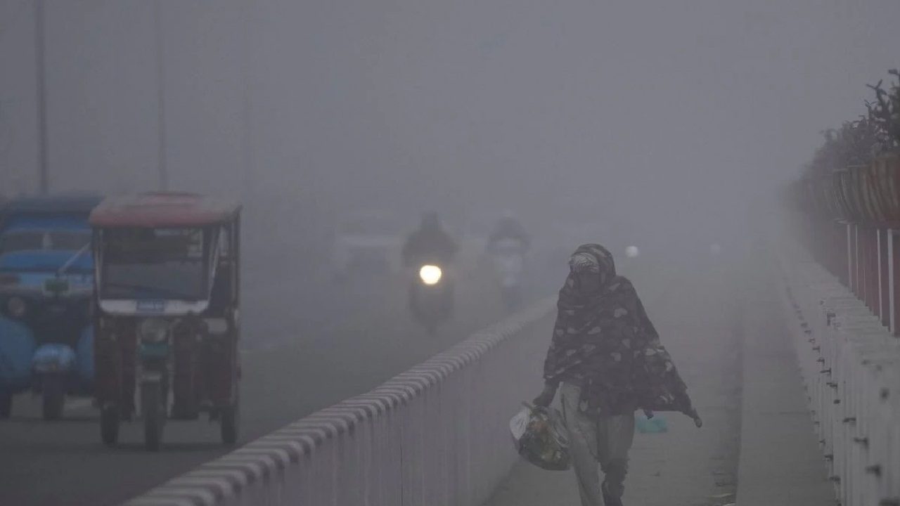
Dense fog is expected to continue over northwest India and Bihar for the next five days. Punjab Haryana Chandigarh and Uttarakhand may experience dense to very dense fog during morning and night hours till January 17 with patchy fog possibly continuing till January 22. Western Uttar Pradesh may see dense fog till January 18 and eastern Uttar Pradesh till January 19 while similar warnings have been issued for Bihar sub Himalayan West Bengal Sikkim Gangetic West Bengal Assam and Meghalaya on different days.
As for temperature trends minimum temperatures in northwest India may rise by three to five degrees Celsius over the next four days after which no major change is expected for three days. Central India is likely to see stable temperatures over the next twenty four hours followed by a rise of two to four degrees over the next three days. Eastern India may witness little change for three days before temperatures increase by two to three degrees over the following four days. In Maharashtra temperatures may fall by two to three degrees over the next two days before rising again while Gujarat could see a rise of two to three degrees in the next two days.


Discussion about this post