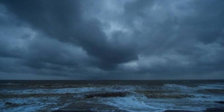
As per the Indian Meteorological Department (IMD), a low pressure area is likely to form over North Bay of Bengal and its neighbourhood around June 11, catalysing the advance of southwest monsoon into West Bengal, Odisha, Bihar, Jharkhand, Chhattisgarh, and Sikkim.
Under the influence of the low pressure, most of East India and adjoining central India will likely witness fairly widespread rainfall activity from June 10 onwards.
The weather department further added that due to the strengthening of southwesterly winds from Bay of Bengal to Northeast and adjoining East India, a cyclonic circulation will be formed over central Assam and neighbourhood, including West Bengal and South Chhattisgarh.
These areas will likely witness widespread rainfall activity over the next four-five days.If the low pressure converts into cyclone, India would witness third cyclone — after Tauktae and Yaas — within weeks.
Cyclone Tauktae was formed on May 14 and dissipated on May 19. Tauktae was formed in Arabian Sea. Just a week later, Cyclone Yaas hit the eastern coast of the country. It was formed on May 23 and dissipated on May 28.
In its latest update on Monday, the department said that a low pressure area was likely to form over North Bay of Bengal around 11th June. Southwesterly winds over Arabian Sea was also likely to strengthen from 10 June.
Monsoon is likely to advance into remaining parts of Maharashtra (including Mumbai), Telangana and Andhra Pradesh by 11 June; Odisha, West Bengal, Chhattisgarh, Jharkhand, Bihar, East Uttar Pradesh, some parts of Madhya Pradesh, and Gujarat state during 11-13 June,” it said in a statement issued on June 7.


Discussion about this post