Bhopal| Warm winds blowing in from the Bay of Bengal have temporarily reduced the impact of winter in Madhya Pradesh. On Thursday, Bhopal recorded a daytime high of 32°C — the highest in the past 12 days. The nighttime temperature was 20.6°C, which is 1.2°C above normal.
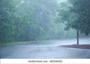
This marked the second day in a row where the daytime temperature rose, showing an increase of 0.6°C. Meanwhile, Chhindwara received over half an inch of rainfall on Thursday. The India Meteorological Department (IMD) has predicted light showers on Friday across regions including Malwa-Nimar, Mahakaushal, and Narmadapuram.
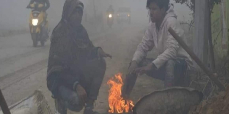
Despite this temporary rise in temperature, meteorologists anticipate a second round of winter chill after Diwali — likely between October 24 and November 1. The initial cold spell had occurred between October 3 and 14, during which Bhopal saw its night temperature drop to 15.8°C.
Winter Outlook: Coldest Season Since 2010 Likely
New Delhi – Weather experts predict that winter may arrive nearly two weeks earlier than usual this year, with an extended duration likely to stretch from November through February across the Indo-Gangetic plains and central India.
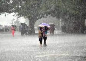
This is attributed to the expected formation of La Niña conditions, which generally lead to colder-than-normal global temperatures during winter. Meteorologists suggest that the coming winter could be the most intense since 2010, with above-average rainfall and increased activity of Western Disturbances, especially in northwestern India.
The IMD has also confirmed signs that La Niña patterns are developing, which could bring a notable drop in temperatures and more winter rain in several parts of the country.


Discussion about this post